
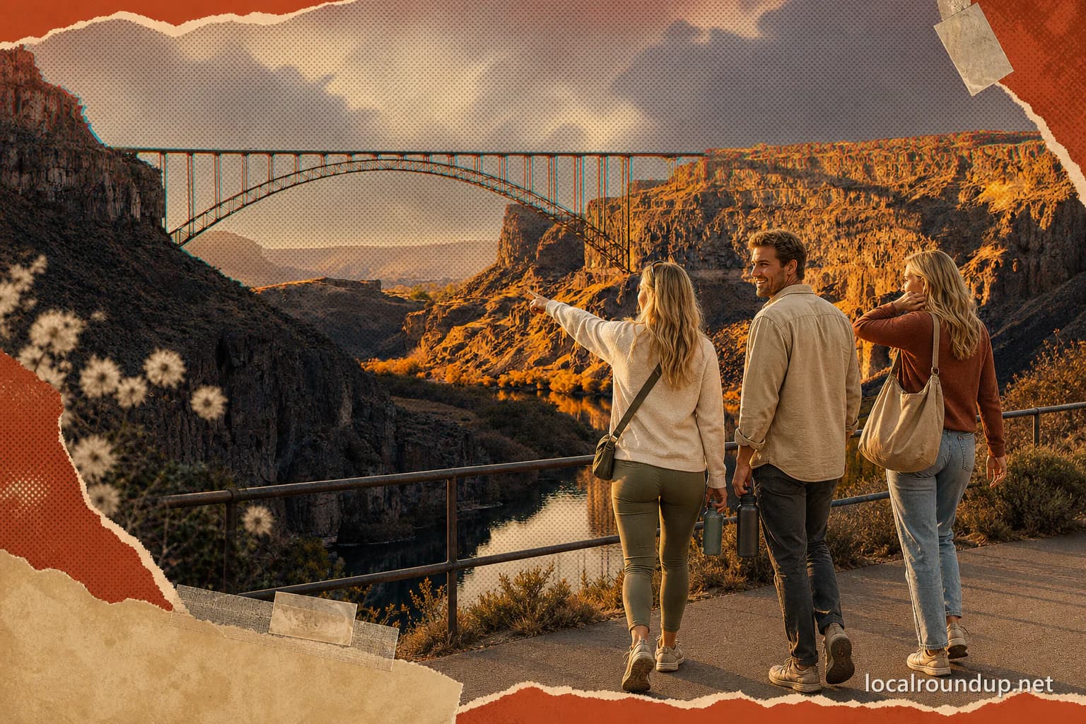
Use the visitor center as the easy anchor
For a first canyon visit, park at the Twin Falls Visitor Center near the south end of the Perrine Bridge. The overlook begins almost immediately, public restrooms are available, and the Canyon Rim Trail runs past the site. This is the stop that works when the group includes someone who wants a big view without committing to a long walk.
The bridge can be crossed on foot, but it is still a working highway bridge rather than a quiet park path. Wind, traffic noise, height, and the return walk all count. Seeing BASE jumpers is possible, not scheduled entertainment; do not build the whole outing around a jump occurring while you are there.
Pick a trail segment instead of chasing a mileage number
Published descriptions give different lengths for the Canyon Rim Trail because they refer to different developed segments and endpoints. The useful fact is that the system extends for miles in both directions from major access points. Walking, running, and biking are welcome, and access is available from the visitor center, Washington Street North, Pole Line and Eastland, and Shoshone Falls Park.
Decide the turnaround before starting. A one-hour walk from the visitor center is a different plan from riding east toward the jump site or beginning at Shoshone Falls. The canyon edge also offers very little forgiveness for someone who has already used all their energy on the outbound leg.
Treat the Knievel site as a viewpoint, not a playground
Evel Knievel's 1974 launch ramp remains visible east of the visitor center. Visit Southern Idaho says the ramp itself is on private property. Public trail users can approach a viewpoint within roughly 100 yards, but that is not permission to leave the trail or climb wherever a photo looks possible.
The trail from Shoshone Falls toward the site is paved but includes steep grades. A closer public access point near Pole Line and Eastland reduces the distance and effort. Choose the approach based on the group in front of you, not on a social post that skipped the uphill part.
Shoshone Falls belongs at one end of the day
Shoshone Falls is east of the central visitor-center section and charges a seasonal $5 vehicle fee. Spring generally brings the strongest water flow; summer irrigation and fall reservoir management can reduce it sharply. The park remains worthwhile as a canyon stop, but the waterfall itself is variable.
Driving to the falls is the straightforward choice for a mixed group. Walking or cycling there is a longer outing with grades, sun, and a return trip. If the waterfall is the priority, visit it first and use the trail only for an amount of time everyone can comfortably repeat on the way back.
The canyon floor is a separate outing
Centennial Waterfront Park sits below the rim. It is the launch point for many river and paddling activities, but reaching it requires a drive down into the canyon. Do not casually add it to a rim walk as though the trail drops to the same parking lot.
Perrine Coulee and Mogensen Trail also involve canyon-floor access and conditions that differ from the paved rim. If the group wants water-level views, make that the day's main physical portion. A bridge overlook, a long rim walk, a waterfall stop, and a canyon-floor hike can all fit on a vacation list without belonging in the same afternoon.
Three honest ways to plan it
For the easiest version, use the visitor center overlook and a short out-and-back on the rim. For a two-stop version, pair the visitor center with a drive to Shoshone Falls. For the active version, choose one trail segment, set a turnaround time, and leave the car where the return route ends.
Bring water and expect wind and exposed sun. Check the city park page for Shoshone Falls conditions and use a current trail map for the segment you choose. The canyon is more enjoyable when no one is being hurried toward a fifth landmark.
- Easiest overlook: Twin Falls Visitor Center and Perrine Bridge area.
- Best variable-water view: Shoshone Falls after checking the live conditions.
- Historic viewpoint: the public trail near the Knievel ramp, not the private ramp itself.
- River-level day: Centennial Waterfront Park or a canyon-floor trail as a separate plan.
Check the details
Dates and rules can change. These are the organizer and venue pages used for the practical details in this guide.
- Visit Southern Idaho: Snake River Canyon Rim Trails
Trail uses, public access points, visitor-center orientation, and eastbound landmarks
- Visit Southern Idaho: Evel Knievel jump site
Private-property boundary, public viewing distance, trail grade, daylight hours, and free access
- City of Twin Falls: Shoshone Falls
Waterfall seasonality, park hours, vehicle fee, road closures, and accessible viewpoints
- City of Twin Falls parks and facilities
City management of the Canyon Rim Trail, Shoshone Falls, Dierkes Lake, and Auger Falls