
Check access before choosing the activity
Kootenai National Wildlife Refuge normally offers a 4.5-mile one-way auto tour and four hiking trails near Bonners Ferry. In September 2026, that familiar plan is disrupted. Riverside Road improvements are scheduled through October 30, and the refuge says the auto-tour route is closed to motor vehicles. Some foot and bicycle access remains, but visitors must approach from the correct side and expect construction traffic.
This guide expires with the closure. Check the refuge's current alert before every visit.
Decide whether to visit now or wait
Wait until after construction if the auto tour is the main reason for going, if detours are difficult for your group, or if heavy equipment would diminish the outing. The refuge has not promised that every trailhead, parking lot, or route will remain available every day during road work.
A current visit can still make sense for someone content with the headquarters area, picnic area, wildlife viewing, or an out-and-back walk. The June closure update says headquarters, bathrooms, picnic area, and most trails remain available. Access details can change as the project advances, so call the refuge if the current notice is unclear.
Start at headquarters for the shortest visit
The headquarters kiosk has two spotting scopes overlooking Greenwing, Snipe, Waterline, and Redhead ponds. This is the best first stop for a mixed-age group or a visitor who wants wildlife viewing without committing to a long walk. Bring binoculars if you have them, but the fixed scopes give the visit a useful focal point.
The Chickadee Trail begins near headquarters. The refuge describes it as a paved, 0.16-mile loop that takes about ten minutes and is wheelchair friendly. It passes riparian habitat, wetlands, and managed grain fields, with a bench and educational panels. This is the most clearly documented low-barrier option, though construction access should still be confirmed.
Choose a longer trail deliberately
Deep Creek Trail is a 2.16-mile double-track route on dirt, rock, and grass. The refuge estimates about two hours and notes broad views of wetlands, grassland, and the Selkirk Mountains. The south trailhead has a pull-off with room for about five vehicles, but road work may affect how it is reached. Do not build the day around that small lot without checking.
Myrtle Falls Trail is much shorter at 0.24 mile, but only the first 0.15 mile is paved. Beyond the bridge it becomes steeper and uneven before the falls viewpoint, and the upper portion is managed by Idaho Panhandle National Forest. A short distance does not make the entire route accessible.
Ole Humpback is a moderate 0.71-mile singletrack route with steep sections and a poorly marked continuation onto National Forest land. The refuge recommends navigation tools for anyone continuing beyond its boundary. Overnight parking is prohibited on the refuge.
Understand the auto-tour closure
The normal auto tour is a 4.5-mile, one-way gravel road. Under the current closure, motor vehicles cannot use it. The refuge says pedestrians and cyclists may access it from headquarters, but the Deep Creek exit is closed, so it functions as an out-and-back route rather than the usual through trip. Heavy equipment and trucks may also be present.
Do not follow an older map or online itinerary that assumes the one-way drive is open. The refuge warns that an older trail map contains inaccuracies and may show trails in closed or unsafe areas. Use the current visitor-use map and posted signs.
Plan for wildlife and bear country
This is a wildlife refuge first. Stay on open routes and back away if an animal changes its behavior. The refuge advises visitors to carry water, snacks, insect repellent, sunscreen, and season-appropriate clothing. It identifies the area as black bear and grizzly bear country and advises carrying bear spray while hiking.
Bicycles are permitted on the auto-tour road only, not on hiking trails. Snowshoes and cross-country skis are allowed on the auto-tour road and trails when conditions permit. Closures can override those general rules.
Give the visit a narrow goal
During construction, choose one goal: a headquarters wildlife watch, Chickadee Trail, one longer trail, or a walk on the accessible portion of the auto-tour road. Do not try to reconstruct the normal driving loop through detours or closed exits.
The refuge remains worth visiting, but 2026 requires a different plan. Read the latest alert, choose a route that starts from confirmed access, and be ready to turn the visit into a short pond watch if construction changes the day.
Check the details
Dates and rules can change. These are the organizer and venue pages used for the practical details in this guide.
- Primary planning source 1
Supports the guide's operating, access, safety, or historical planning claims; retrieved 2026-09-05.
- Primary planning source 2
Supports the guide's operating, access, safety, or historical planning claims; retrieved 2026-09-05.
- Primary planning source 3
Supports the guide's operating, access, safety, or historical planning claims; retrieved 2026-09-05.
- Primary planning source 4
Supports the guide's operating, access, safety, or historical planning claims; retrieved 2026-09-05.
- Primary planning source 5
Supports the guide's operating, access, safety, or historical planning claims; retrieved 2026-09-05.
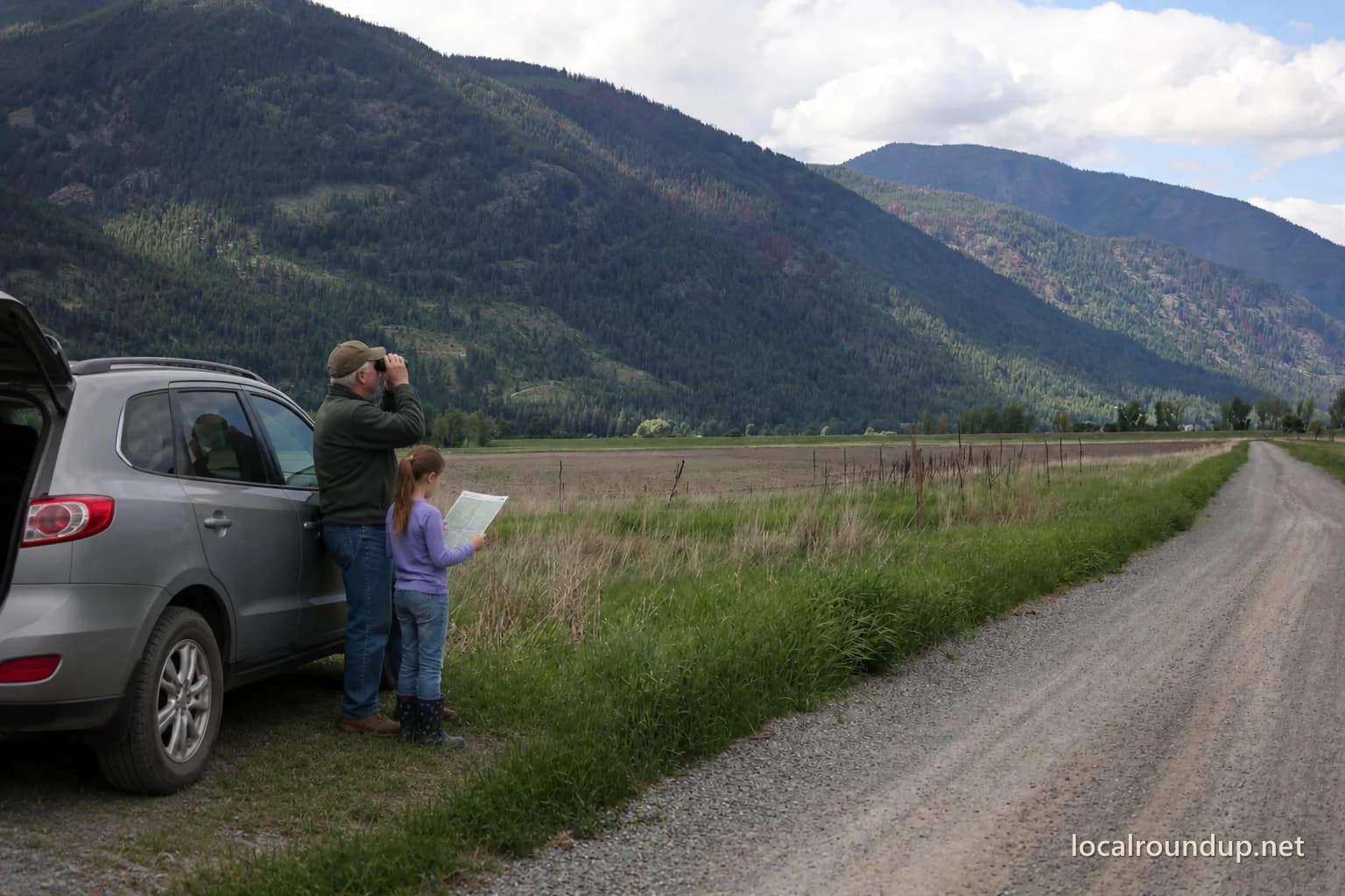
- Hero image source: Kathy Bolam / USFWS (public domain; adapted)
The hero collage is adapted from this exact-location public-domain photograph; a route marker was removed, people and a vehicle were added, and the image was cropped, retouched, and watermarked.