
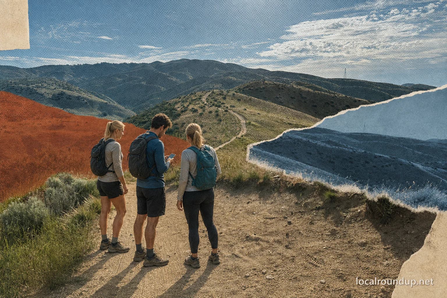
Begin with the live system, not a saved recommendation
The Ridge to Rivers system spans several trail areas, elevations, soil types, and land managers. A route that worked last month can be muddy, closed for wildlife, affected by fire work, or uncomfortable in today's heat. Open the current condition report and interactive map before choosing a trailhead. A screenshot from an earlier trip is useful for orientation, not operating status.
Check three things in order: whether the trail is open, whether its current condition supports use, and whether the allowed activity matches your group. Only then compare distance or scenery. This order prevents a familiar trail name from outranking the information that determines whether the outing is responsible and realistic.
Match the route to the least-experienced person
For beginners and children, Ridge to Rivers recommends starting on short, flat trails and building toward more adventurous outings. Use the official filters for distance, difficulty, condition, features, and accessibility rather than treating mileage as the whole difficulty rating. A short climb in direct sun can ask more of a group than a longer, flatter path.
Choose a turnaround before departure and tell everyone that turning back is part of the route, not a failed attempt. Bring water for each person, stay on marked trails, and save the route locally in case service is weak. If one person needs a smoother surface, shade, or a shorter distance, use that requirement to select the trail area from the start.
Treat mud as a stop sign, not an obstacle
Foothills soil can be frozen early, soft by afternoon, or muddy long after the last visible rain. Ridge to Rivers uses condition reports and the interactive map to direct people toward suitable surfaces. When mud begins sticking to shoes or tires, or avoiding it would require leaving the trail, turn around. Walking around a muddy patch widens the route and damages vegetation; continuing straight through leaves ruts that require repair.
Build an all-weather fallback before driving to the trailhead. Ridge to Rivers condition reports commonly point users toward durable roads, sandy routes, or the Greenbelt when ordinary singletrack is too wet. The correct alternative changes with the report, so keep the decision general until the same-day check names the suitable areas.
Heat changes the route and the clock
Many lower Foothills routes are exposed. During hot weather, an early start can matter more than choosing the shortest loop. Check the forecast, estimate time for the slowest person, and avoid making a ridgeline turnaround depend on the hottest part of the day. Water, sun protection, and a charged phone belong in even a modest plan.
Upper-elevation options may be cooler, but they can add driving, steeper terrain, or different closures. Do not use elevation as a substitute for checking the actual condition page. Smoke, wind, thunderstorms, and fire restrictions can also change the safest choice without changing the trail's published distance.
Check use rules before adding wheels or a dog
A route open to hikers is not automatically the right route for bicycles, e-bikes, horses, motorcycles, or off-leash dogs. Use the Ridge to Rivers activity guides and individual trail record to confirm the allowed use. Seasonal leash rules and directional travel can apply in specific places. Posted signs at the trailhead control when they are more restrictive than an old saved map.
For a mixed-use outing, plan how the group will yield and pass without leaving the tread. Keep dogs under the rule shown for that route and carry waste out. The goal is not to collect the most trail miles; it is to finish without creating a conflict, rescue problem, or repair job for the next visitor.
A two-minute departure check
Before leaving, reopen the condition report and interactive map, confirm the trailhead, scan trail news for closures, and compare the route with the forecast. Save one lower-commitment alternative in a different soil or surface category. If conditions change at the trailhead, use the fallback without trying to negotiate around a closure or muddy section.
This method deliberately avoids naming one permanent best hike. The most useful Boise Foothills route is the one that is open, suitable for today's ground and weather, allowed for the activity, and comfortable for the actual people in the group.
Check the details
Dates and rules can change. These are the organizer and venue pages used for the practical details in this guide.
- Ridge to Rivers
Current condition reports, trail news, trail areas, use guides, and map access
- Ridge to Rivers: Family Friendly Hikes
Beginner route guidance and official distance, difficulty, condition, and accessibility filters
- Ridge to Rivers: Wet Weather and Winter Trail Use
Wet-weather trail behavior and alternative-surface planning
- Ridge to Rivers interactive map
Current trail records, allowed uses, and condition selection