
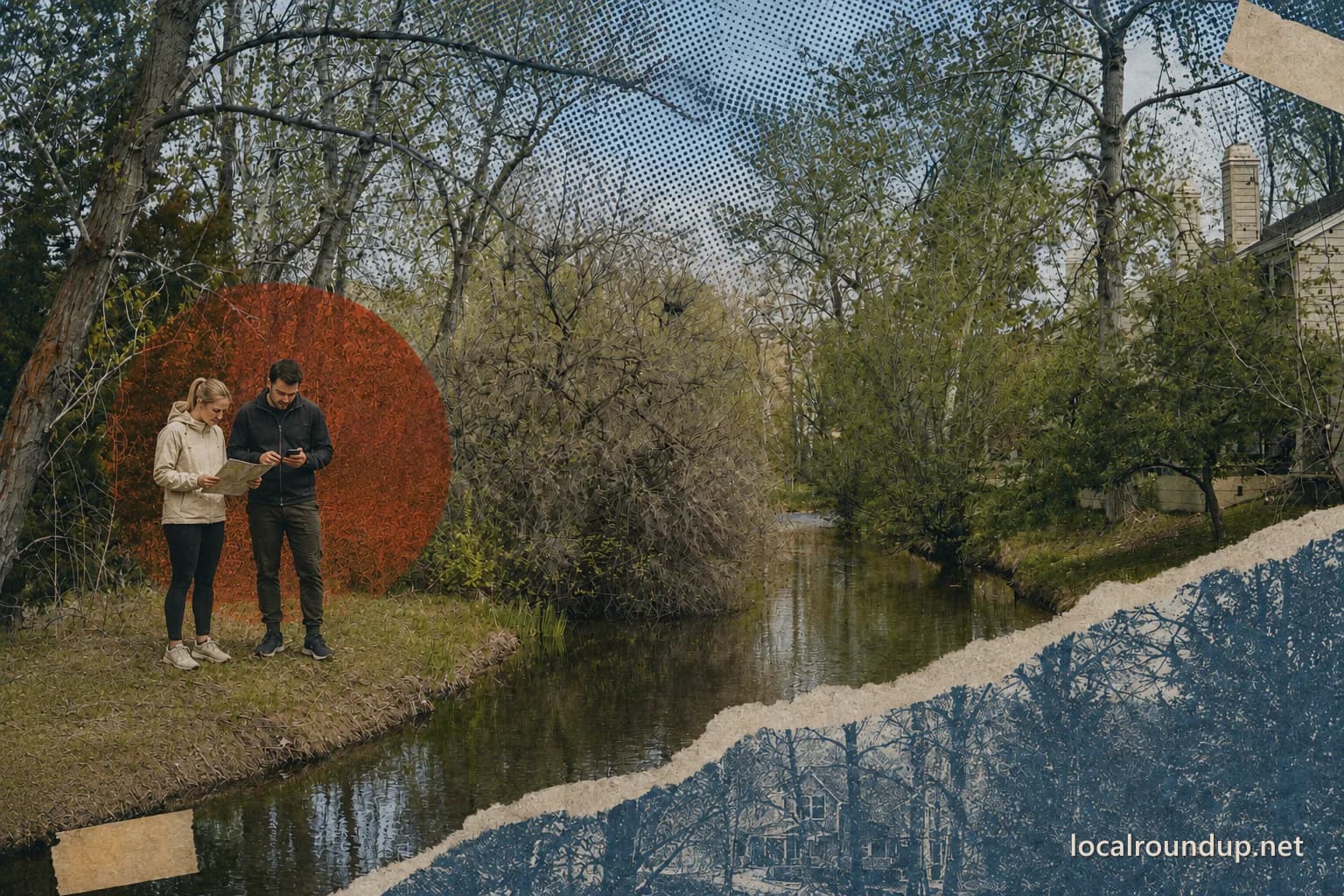
Start with a park, not a mileage target
Boise maintains 29 miles of pathway on the north and south sides of the river, with many access points in riverside parks. That makes the Greenbelt easy to enter and surprisingly easy to misjudge. A plan that begins with 'ride ten miles' leaves parking, restrooms, bridge crossings, and the return trip unanswered. Choose a developed park or mapped lot first, then measure a route that returns to it.
Use Boise's current PDF or interactive map to confirm the parking location and which bank the path follows. A pin near the river does not prove that parking is public or that a path crosses the water. For a group arriving in separate cars, name one exact meeting point instead of saying 'the Greenbelt.'
Match the surface to the group
Most of the corridor functions as a shared paved path, but the city map also identifies non-paved sections reserved for pedestrians, including the Bethine Church Trail. A through-ride, stroller walk, mobility-device outing, and quiet nature walk need different surfaces. Check the segment before leaving, especially when a loop would use both banks or pass through a nature area.
Pedestrians have the right of way. People on wheels should travel at a speed that fits traffic and conditions, announce passes, and stay on designated routes. Motor vehicles and hooved animals are prohibited except for maintenance, patrol, and approved mobility devices. Dogs may use Boise's Greenbelt on a leash no longer than eight feet, but adjacent preserves can have stricter rules. Golda Harris Nature Preserve, for example, does not allow dogs.
Make the turnaround part of the route
An out-and-back is the simplest plan because one access point controls both ends. Set the turnaround by time as well as distance. New riders and children often feel strongest on the outbound leg, while heat, wind, or a crowded path slows the return. Turn around before the group uses half its water or patience.
A one-way ride needs a verified pickup or a second legal parking location. Do not assume a bus, rideshare vehicle, or family driver can reach any point shown beside the path. Save the address for both ends and check closing hours for the parks involved. The Boise section is posted open from sunrise to sunset each day.
Check the agency when the route leaves Boise
The connected corridor runs from Lucky Peak through Boise and Garden City to Eagle. Boise, Ada County, Garden City, Eagle, and the Idaho Foundation for Parks and Lands manage different sections. Boise's page is authoritative for Boise-maintained miles, not every connected path upstream or downstream.
If the route crosses a city boundary, open the responsible agency's current notice as well. Construction, bank repair, flooding, and events can create a short closure or street detour. A detour suitable for an experienced adult cyclist may be a poor choice for a stroller, a child on a bike, or anyone avoiding vehicle traffic. Change the access point when a detour changes the outing you intended.
Use a same-day departure check
Open Boise's 'Projects Impacting the Greenbelt' notice and map on the day of the outing. Confirm the access lot, the side of the river, the surface, and the turnaround. Carry a charged phone and know the nearest named park or bridge so you can describe your location in an emergency. The city recommends staying alert, traveling with another person when possible, and keeping an alternate route.
Treat the river as scenery unless a separate facility explicitly permits water access. The Greenbelt does not make every bank a swimming area, launch, or safe place to climb down. A strong plan is modest: one dependable access point, one clear turnaround, and one optional park stop that does not determine whether everyone gets back.
Check the details
Dates and rules can change. These are the organizer and venue pages used for the practical details in this guide.
- City of Boise: Boise River Greenbelt
Length, hours, mapped parking, safety, projects, and multi-jurisdiction management
- City of Boise: 2025 Greenbelt map
Park anchors, pathway alignment, surfaces, etiquette, leash rules, and restricted uses