
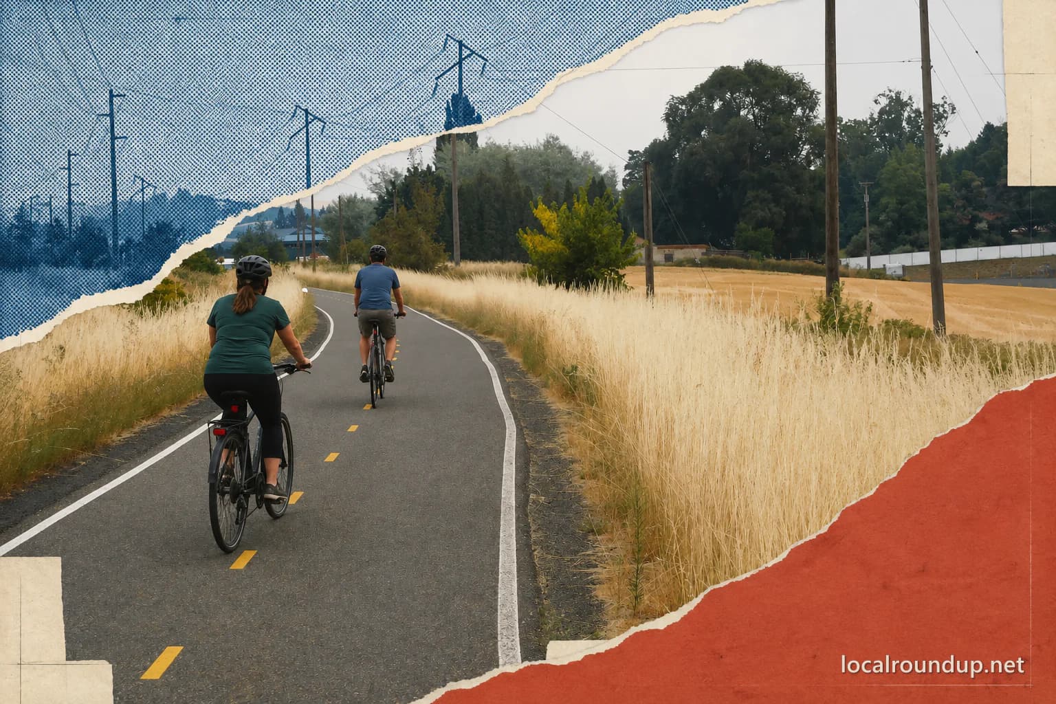
Choose direction before distance
Paradise Path is the Moscow connector between the Bill Chipman Palouse Trail toward Pullman and the Latah Trail toward Troy. The city describes it as mostly level, beginning near the Moscow-Pullman Highway and Farm Road, crossing the University of Idaho campus and downtown, passing Highway 95, and continuing beside State Route 8 to Carmichael Road. That description explains connection, not the length every visitor should attempt.
Pick west, central, or east based on the destination and the least-experienced person. A downtown walk, campus ride, Pullman-bound trip, and Troy-bound trip need different turnaround points. Save both ends of the planned segment and include the return mileage. A one-way goal without transportation at the other end doubles the effort.
Use Paradise Path for a city-scale outing
Paradise Path passes Ghormley Park, Berman Creekside Park, and Blackbird Station. These make useful rest or meeting points, but their amenities and operating status belong to separate facility records. Pick one anchor and confirm what it actually offers. A park name beside the trail does not guarantee a restroom, fountain, shelter, or available parking.
The route crosses active streets and Highway 95. Follow marked crossings and current detours. A mostly level grade does not remove traffic, weather, surface, or distance decisions. Families should choose a turnaround that leaves attention and energy for the return crossings.
Treat Pullman as a cross-state extension
The Bill Chipman Palouse Trail continues west into Washington. That extension crosses a state line and leaves the City of Moscow facility boundary. Check the current Bill Chipman trail authority for surface, closures, rules, and the Pullman end. Do not use Moscow's Paradise Path description as proof that the entire western ride is open or managed the same way.
A cross-state ride needs more water, repair supplies, daylight, and a firm turnaround than a city segment. Confirm whether every rider can cover the round trip. Arrange pickup before departure if the plan is one way.
Treat Troy as a longer eastern plan
The Latah Trail continues east toward Troy. Carmichael Road marks the end of the Paradise Path description, not necessarily the rider's destination. Open the current Latah Trail map and notices before continuing. Wind, heat, smoke, and exposure across the Palouse can matter more than a gentle grade.
Do not promise services at the far end without checking them. Carry enough water and basic repair gear for the chosen distance. A turn at Carmichael Road or an earlier park is a complete outing, not a failed attempt at Troy.
Share the corridor predictably
Walkers, runners, cyclists, children, and mobility-device users may share city segments. Keep right, pass with warning, control speed near crossings and parks, and stop off the travel line. Use lights and visible clothing when daylight is limited.
Dog rules, bicycle rules, and temporary closures can vary by connected property. Follow posted signs. A connection on a system map does not erase the rule at a park, campus, street crossing, or neighboring trail.
Run the route check
Open the Moscow pathway map and the live record for any connected trail or park. Check weather, smoke, daylight, closures, and return distance. Save the route and meeting point. If the plan crosses into Washington or onto the Latah Trail, check that operator too.
Moscow's pathway system is most useful when the direction answers the day. Choose downtown for a compact trip, west for Pullman, or east for Troy. Then cut the mileage to what the group can repeat on the way home.
Carry what the connection will not provide
A connected trail system can feel urban near campus and exposed a few miles later. Carry water, sun or rain protection, a basic bicycle repair kit when riding, and a downloaded map. Do not assume a fountain, shop, restroom, or transit pickup at the turnaround unless the current facility record confirms it.
Weather across open Palouse ground can add headwind on the return. Choose the outward distance with that possibility in mind. A rider who uses most of their energy reaching a landmark still has to come back. Turn early when the group slows, weather shifts, or daylight margin shrinks.
Check the details
Dates and rules can change. These are the organizer and venue pages used for the practical details in this guide.
- City of Moscow: Paradise Path
Route endpoints, mostly level character, campus and downtown connection, highway crossing, and adjacent parks
- City of Moscow parks and facilities guide
Current city index for Paradise Path, Bill Chipman Palouse Trail, Latah Trail, and connected facilities