
Choose the access point first
Payette Lake has several public access points in McCall, but they are not interchangeable. A family looking for a beach needs a different destination from a boater towing a trailer. Someone who wants twenty minutes by the water should not circle downtown looking for launch parking. Decide what you plan to do before choosing the park.
Use Legacy Park for a downtown beach day
Legacy Park is the broadest city-waterfront choice. McCall's adopted parks plan lists a beach, swim zone, restrooms, walking path, docks, splash pad, public art, and the adjacent municipal boat ramp. Its downtown location makes it practical when part of the group wants food or shops nearby.
The same location also creates its main limitation. Parking is limited to nearby on-street spaces and the Mill Road lot, according to the city plan. Summer demand is highest from July 1 through mid-August. Arrive early if beach time is the priority. Do not plan around a lifeguard. The city says all municipal beaches are swim-at-your-own-risk.
Legacy Park can work for a family with mixed interests, but keep the boat ramp clear. Swimming, fishing, paddling, and water skiing are prohibited from the ramp and dock area. Use the designated beach and swim zone instead.
Pick Rotary or Davis Beach for a simpler swim stop
Rotary Park has a grassy area, picnic tables, a swimming beach, and a parking lot. It is a better fit when the plan is a picnic and water access rather than downtown errands. Davis Beach also provides beach access and swimming, with portable restrooms in season. The city inventory notes that the docks there are privately held but open to pedestrians.
These are smaller neighborhood-scale sites. They may suit a short family outing better than a full-day setup, but facilities can be more limited. Verify seasonal restroom availability before relying on it, and carry what you need to pack out your visit.
Choose Art Roberts Park for a view and short dock stop
Art Roberts Park is a half-acre downtown park with a grassy slope, picnic benches, restrooms, a small sandy wading and swimming beach, public art, and municipal docks. It makes sense for a brief lake stop, a picnic, or meeting someone arriving by boat.
The city's dock rule matters. Public docks at Art Roberts, Legacy, and Brown parks allow two-hour moorage, not overnight storage. Street parking is available in front of Art Roberts Park, with more parking behind City Hall and the library up the hill. A family carrying a large amount of beach gear may prefer a park with parking closer to the water.
Treat the municipal ramp as a launch, not a beach
The City of McCall boat ramp is a managed launch with its own fee system. As of this review, city-published fees are $15 for an Idaho resident day pass and $30 for a nonresident day pass. Annual and commercial permits have separate prices. Pay before arriving and have the boat registration number available for online checkout.
After launching, move the vehicle and trailer into an authorized lot. The city prohibits leaving them in the launch area. It also prohibits swimming, fishing, paddling, or water skiing from the ramp or dock. These rules keep launch traffic moving and separate swimmers from trailers and powered boats.
Do not assume a city ramp pass covers every launch on the lake. Ponderosa State Park is state-operated and has its own access rules and vehicle fees. Match the pass to the launch you will actually use.
Make a safer water plan
McCall does not staff lifeguards at city beaches. Conditions, water temperature, wind, smoke, and parking can change the day. Check city notices and weather before leaving. Use properly fitted flotation for children and weak swimmers, supervise from within reach, and keep swimming away from launch traffic.
The right waterfront is the one that supports the activity you already chose. Legacy is the flexible downtown beach. Rotary and Davis offer simpler neighborhood access. Art Roberts is strong for a short scenic stop or temporary dock use. The municipal ramp is for launching. Making that distinction before driving saves time and reduces conflicts at the water.
Write the chosen access point into the group message instead of sending only a Payette Lake pin. A named park, launch, or beach gives every driver the same destination and keeps late arrivals from circling the shoreline.
Check the details
Dates and rules can change. These are the organizer and venue pages used for the practical details in this guide.
- Primary planning source 1
Supports the guide's operating, access, safety, or historical planning claims; retrieved 2026-09-05.
- Primary planning source 2
Supports the guide's operating, access, safety, or historical planning claims; retrieved 2026-09-05.
- Primary planning source 3
Supports the guide's operating, access, safety, or historical planning claims; retrieved 2026-09-05.
- Primary planning source 4
Supports the guide's operating, access, safety, or historical planning claims; retrieved 2026-09-05.
- Primary planning source 5
Supports the guide's current parks-system and waterfront-access context; retrieved 2026-09-05. This stable Document Center copy replaces a retired media-path duplicate.
- Hero image source: USDA Forest Service / Cody Allred (public domain; adapted)
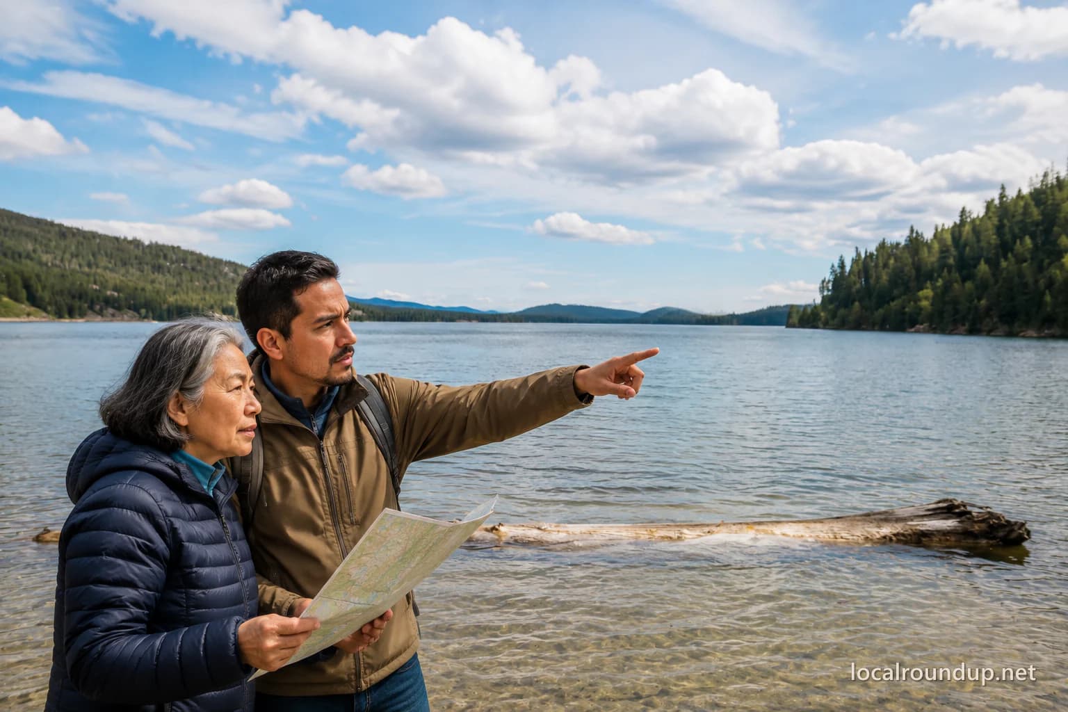
The hero collage is adapted from this exact-location public-domain Payette Lake photograph; people were added and the image was cropped, retouched, and watermarked.