
Plan for two completed sections, not one continuous trail
Burley's Snake River path is not yet one continuous four-mile trail. The city's 2025 transportation amendment says some sections are complete, some are partial, and a middle section has not been started. Its trail-expansion page describes the current path as a disjointed 2.25 miles. Plan an out-and-back on a completed section instead of following the river and expecting the pavement to connect.
The city identifies one completed section from the Bedke Boat Ramp east to Overland Avenue. It identifies another completed section from the Highway 30 Main Street bridge to the park at the city golf course. The gap between Overland Avenue and Highway 30 involves future right-of-way and planned crossings near bridges. Do not improvise that connection along the bank, railroad, bridge approaches, or private parcels.
Choose the west or east section
The western completed path begins around the Bedke Boat Ramp and runs toward Overland Avenue. The city's public-services map marks marina and boat-launch locations, parks, and the existing walking path. Use the current map to choose parking and confirm any local closure before arrival.
A walking-path outing and a boating outing are different plans. Boat ramps, docks, water levels, watercraft rules, life-jacket requirements, and operator services need their own current checks. Keep children away from launch traffic and the water's edge unless an adult is actively supervising them. A marina nearby does not make the path a swimming area.
The city says the eastern completed path runs from the Highway 30 bridge to the park near River's Edge Golf Club. Set a turnaround within that existing segment. Do not continue through a construction boundary or onto golf-course land unless signs establish public access.
Golf activity creates another reason to stay on the designated route. Do not retrieve balls or cut across fairways. If a path segment closes for maintenance, turn around. The planned extension is not a public detour until the city completes inspections and opens it.
Treat project maps as plans, not openings
The expansion project proposes sidewalks, ramps, and floating walkway sections and says city engineers will inspect them before public opening. Those documents explain the intended route. They do not prove a specific new segment is open today. Follow barriers and dated city notices.
The city's transportation plan calls the finished vision a roughly four-mile route from the Bedke marina area to the golf-course clubhouse. That future length should not appear as current usable mileage. Until the city announces completion, preserve the two-section model.
Check the project page and current city notices again on the day of the outing. Construction can close an otherwise completed approach or open a newly inspected connection. A map retrieved during an earlier review should guide the question, not override a barrier or dated field notice.
Prepare for an exposed out-and-back
Carry water, sun protection, and a layer for wind. Smoke, heat, ice, and storms can make a paved path unsuitable. Turn around before a slower walker or young rider is tired because every completed section described here is an out-and-back unless the group arranges a legal, confirmed pickup.
Cyclists should slow around walkers and blind approaches, announce passes, and keep right. A child on a bicycle needs enough control to stop near driveways, ramps, and other users. Do not use a phone while moving.
Restrooms and drinking water are not guaranteed by the planning map. Confirm facilities at the chosen park or marina. Carry out trash and keep fishing line, hooks, and food waste away from the path and river.
Take a current photograph of any posted access map at the start. It can help on the return, but signs and barriers still control. Report damaged facilities to the city instead of moving a barrier or attempting a repair. If parking or the intended section is unclear, choose the other completed segment rather than creating a roadside start.
The city operates a Snake River RV Park near the boat docks, but that is a separate reservation product. For a day outing, pick the west marina-to-Overland section or the east Main Street-to-golf-course section, set a turnaround, and return the same way. The missing middle is a construction fact, not an invitation to find a shortcut.
Check the details
Dates and rules can change. These are the organizer and venue pages used for the practical details in this guide.
- Burley Snake River Trail Extension
Current discontinuity, planned connection, ramps, walkways, and inspection
- Burley 2025 transportation amendment
Completed path sections, unstarted gap, and planned corridor
- Burley comprehensive plan
Existing path, parks, marina, boat launch, and golf course
- Burley Snake River RV Park
Separate RV reservation and operating rules
- Burley Snake River hero photograph by Quasipalm
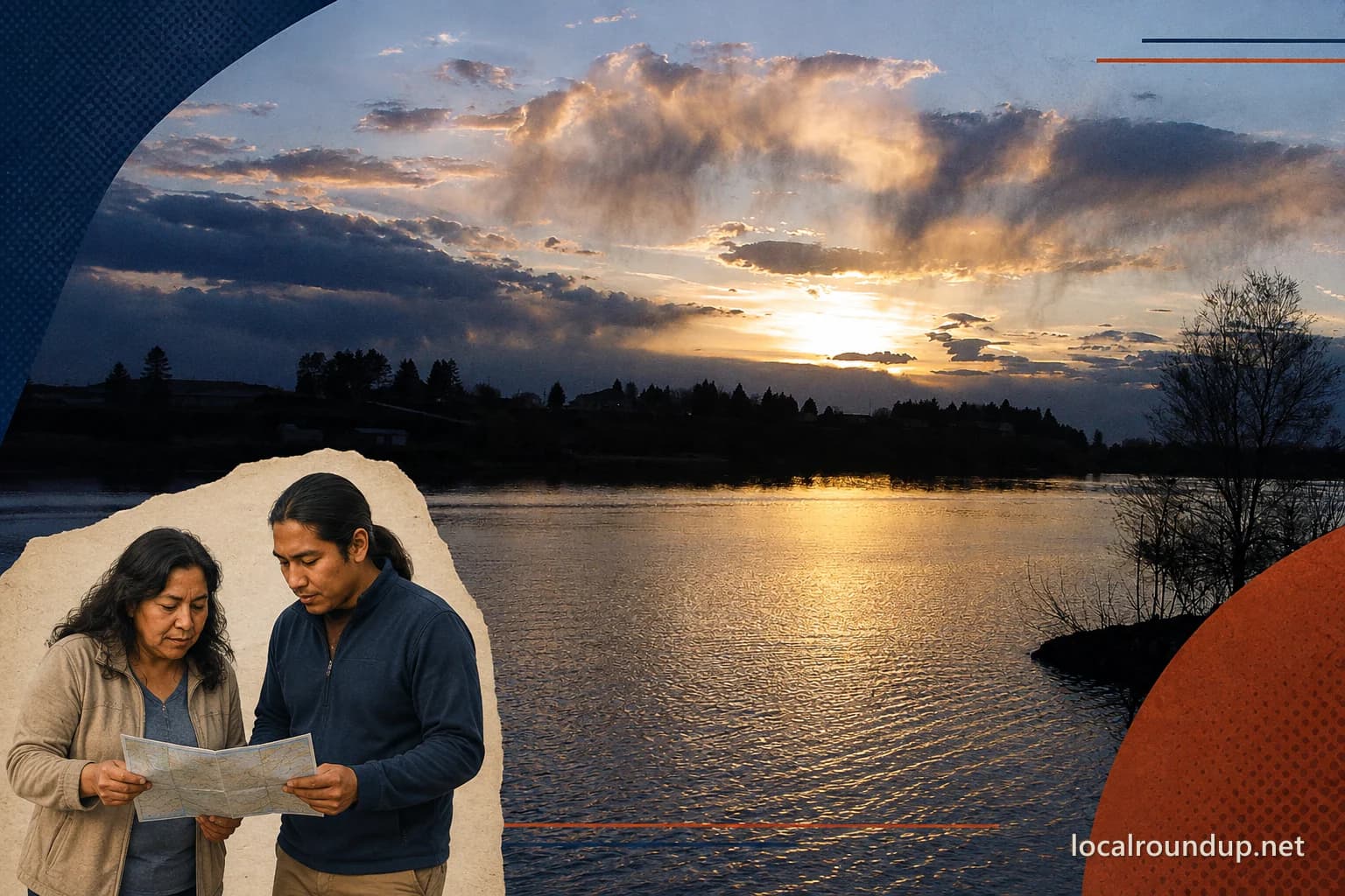
Exact-location public-domain source photograph from Heyburn toward Burley; modified with a separate generated two-adult planning inset, crop, paper, halftone, color treatment, and watermark; does not establish a trail or public access point
- Creative Commons Public Domain Mark
Public-domain status associated with the source asset