
Make the mountain road the first gate
Lake Cleveland sits in an alpine cirque below Mount Harrison in the Albion Mountains. The high elevation makes the destination cooler and more exposed than Burley or Rupert. Access, snow, road condition, and fire restrictions decide whether the trip works. Check the Sawtooth National Forest and Idaho 511 before driving toward Howell Canyon.
The Forest Service visitor guide identifies Lake Cleveland, Thompson Flats, Bennett Springs campgrounds, Twin Lakes horse camp, and Mount Harrison along the mountain road. Those names do not describe one shared facility. Choose the lake, summit-area view, or an overnight site before leaving the valley.
Seasonal mountain roads can remain snowy, muddy, rough, or closed after valley weather feels like spring. Confirm the current ranger-district notice. A passenger vehicle shown in an old photograph does not establish today's surface. Turn around at a closure, deep snow, washout, or condition beyond the driver and vehicle.
Download the official map and carry an offline copy. Do not depend on cellular directions. Fuel before climbing and tell someone the destination and return time. Weather can reduce visibility quickly near the crest.
Choose one anchor
Lake Cleveland supports a contained lakeside stop when access is open. The Mount Harrison area adds broad views and higher exposure. A campground turns the trip into an overnight with reservations or site rules, water, fire, food storage, and checkout questions. Do not treat camping as an automatic extension of a day trip.
For families, choose a short signed walk and a firm turnaround. Alpine terrain can be rocky and uneven. Keep children away from steep drops and cold water. A lake edge is not proof of a maintained swimming beach or lifeguard.
Check services individually
Open the exact Forest Service record for the selected campground or day-use area. Confirm toilets, water, fees, occupancy, vehicles, pets, fires, and seasonal service. If a detail is absent, carry the needed supply or ask the ranger district.
Pack water even when a source is listed. High-elevation sun and wind can dehydrate visitors in cool weather. Bring layers, sturdy shoes, sun protection, and food. Keep a blanket and basic emergency supplies in the vehicle.
Stay on open roads and signed routes. Do not drive onto meadows or create parking. Pack out waste and keep food secured. Follow current fire restrictions. A fire ring is not permission to build a fire during a restriction.
Wildlife gets space. Dogs follow current Forest Service and campground rules and remain under control. Fishing requires current Idaho licensing and regulations. This guide does not establish that fish are present, biting, or safe to eat.
Separate the drive from the destination
The mountain road is part of the day's workload. A driver who is uncomfortable with steep, narrow, rough, or exposed roads should not be pressured by a destination photo. Ask the ranger district about the current route, vehicle recommendations, and turnaround options. Carry a paper or downloaded map because a navigation app may select an unsuitable shortcut.
At the lake or overlook, establish a departure time before anyone spreads out. Afternoon weather and smoke can erase views and complicate the descent. Visitors sensitive to altitude should keep the first stop short, drink water, and descend if symptoms develop. The guide should never promise a particular view.
Photographers should use established pullouts and trails, not road lanes or fragile slopes. Pack the camera before driving again. A missed view is not a reason to reverse on a narrow road or block another vehicle.
A convoy needs one shared turnaround rule. If one vehicle cannot continue safely, the group should not split unless every driver has the offline route and a confirmed meeting place. Ask the ranger district about current vehicle recommendations rather than treating an old photograph or review as evidence for today's road surface.
The trip succeeds when the road and weather support one chosen stop. A lake picnic, short walk, or overlook can fill the day. If access is questionable, Pomerelle's lower approach or a valley outing is a better fallback than testing the last mile.
Check the details
Dates and rules can change. These are the organizer and venue pages used for the practical details in this guide.
- Sawtooth National Forest visitor guide
Mount Harrison corridor, Lake Cleveland, campgrounds, and horse camp
- Sawtooth forest plan: Howell Creek and Mount Harrison
Lake Cleveland alpine cirque, Mount Harrison management area, and the Howell Canyon access corridor
- USFS overlook hero photograph
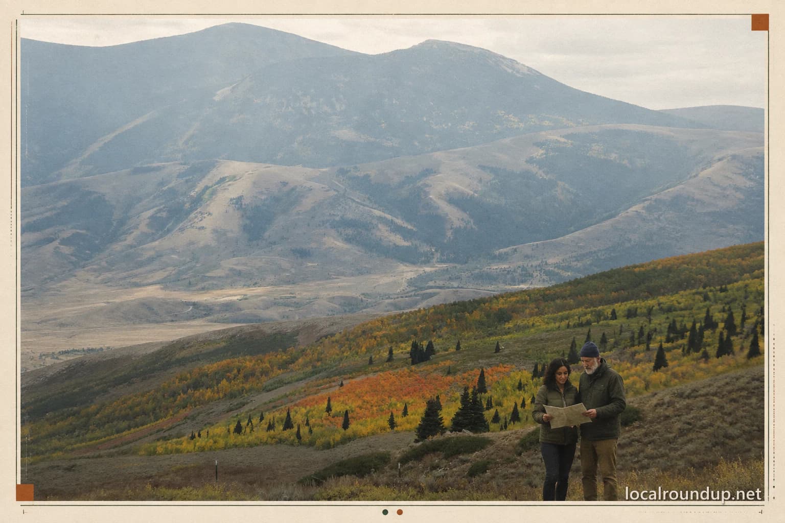
Exact-area public-domain federal photograph; modified with a generated two-adult cast, crop, paper, halftone, color treatment, and watermark; the image does not depict the lake
- USAGov federal-materials copyright guidance
Definition and limits of public-domain U.S. government works; the individual asset page identifies this photograph as a Forest Service employee work