
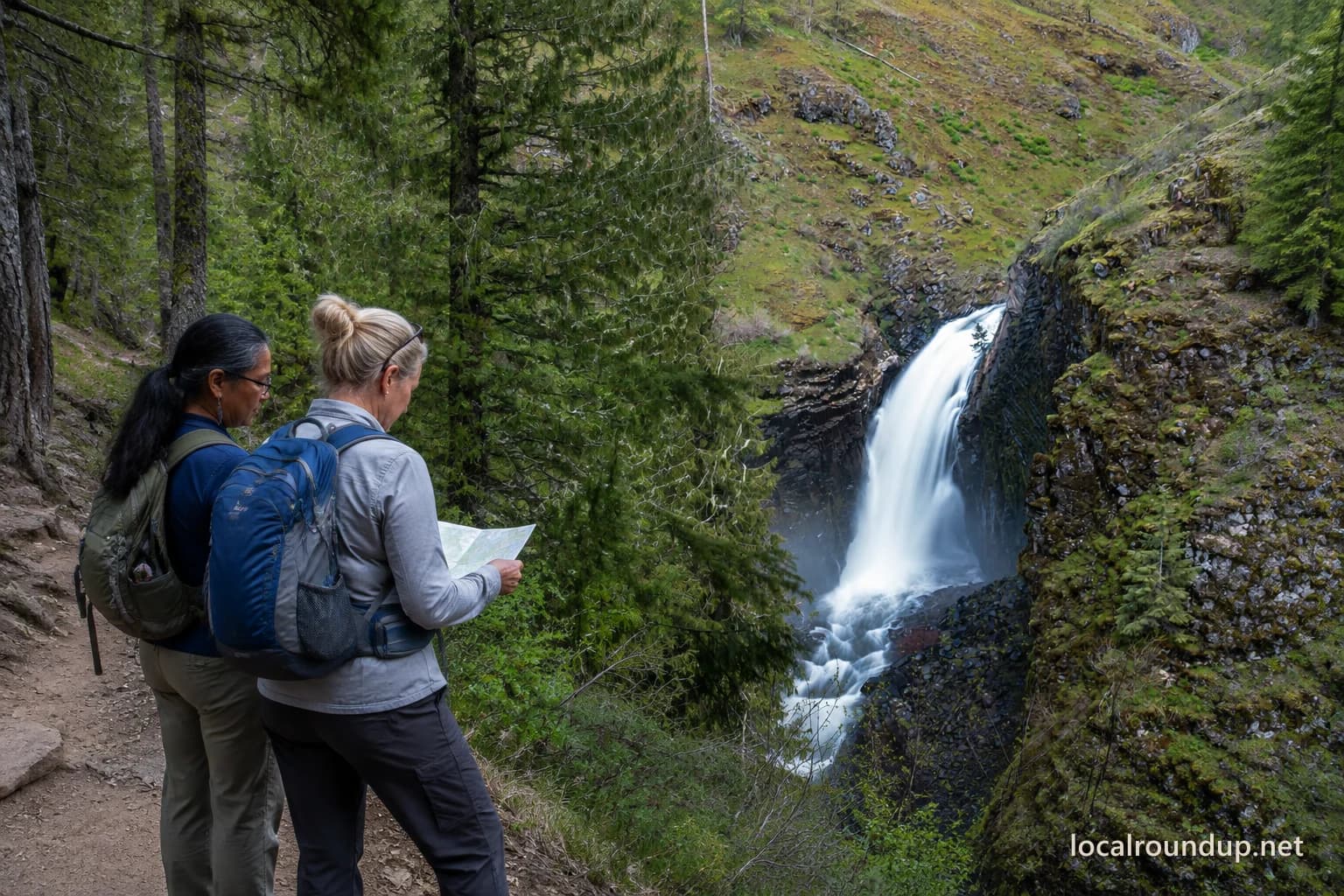
Treat the falls as a trail system
Elk Creek Falls near Elk River is a trail outing, not a roadside viewpoint. The Forest Service's current land-management record designates a 443-acre Elk Creek Falls special area for its recreational value, while its current topographic map places the recreation area in the forest terrain west of Elk River. That combination sets the planning standard: confirm the route and current conditions before leaving town, allow for the return effort, and turn around before fatigue decides for you.
Start with the road and alert check
Forest roads can change with snow, washouts, fire activity, logging, or maintenance. Download the current Forest Service topographic map before leaving cell coverage and check the Nez Perce-Clearwater National Forests recreation page and alerts. A passenger-car assumption should come from current road information, not an old trip report or a map that shows geography without certifying that a road is open.
Tell someone the destination and expected return time. Carry enough water and food for a remote outing, and do not rely on amenities that are absent from the current recreation listing. Treat the vehicle as the last reliable supply point. If the forest cannot confirm access or facilities, bring what the group needs and be willing to choose another destination.
Judge the group by the return trip
Do not assign a universal difficulty rating from an archived brochure. Current Forest Service material confirms a recreation area reached by trail, but it does not provide a current mileage, tread-condition report, or accessibility promise. A fit hiker may find the outing manageable while a young child, a visitor with uncertain footing, or someone unused to forest terrain may find the return tiring.
Set a turnaround time before starting. If progress is slow, visit fewer viewpoints rather than pressing to complete an imagined checklist. Keep enough energy for the climb away from the canyon. Wet roots, loose dirt, heat, smoke, or early snow can change the difficulty.
Treat viewpoints as edges, not photo platforms
Waterfall terrain has steep slopes and wet surfaces. Stay on the developed trail and use established viewing areas. Do not step past barriers or leave the path to improve a camera angle. Keep children within immediate reach near drop-offs. A leash does not make every dog suited to a narrow or busy trail, so check current forest rules and honestly assess the animal before bringing it.
The waterfalls are the destination, but the safest outing may end at the first satisfactory view. No photograph is worth testing an unstable edge. If rain, ice, smoke, or fading light reduces the margin, turn back.
Pack for a remote half-day
Bring a downloaded map, water, food, a basic first-aid kit, and layers. Wear shoes with reliable traction. In warm months, consider insects and sun exposure. In shoulder seasons, expect cooler canyon conditions and an earlier sunset than an open-road forecast suggests.
Carry a headlamp even when the schedule should return you before dusk.
Do not count on immediate rescue or a quick replacement for forgotten equipment. The attraction lies in a forest setting away from a developed city park. That also means the group needs to solve small problems on its own.
Use the trailhead as a decision point
Stop at the trailhead and reassess before hiking. If the road took longer than expected, the weather changed, or someone feels unwell, eating the food you brought and choosing another nearby plan can be the right outcome. Do not let the drive create pressure to finish the trail.
After the hike, check for litter and pack everything out. If you encounter a closure, damaged trail, or unsafe condition, report it to the ranger district rather than routing around it.
Elk Creek Falls suits a group comfortable with an uneven four-mile outing and a remote-road check. It does not suit every visitor who wants an easy waterfall view. Make the choice based on the least experienced hiker, current access, and the return effort. The falls will still be there on a better day.
Agree on the turnaround rule at the trailhead: time, weather, footing, or fatigue can end the hike before the final viewpoint. Making that decision while everyone is comfortable is easier than negotiating it after the group is spread along the route.
Check the details
Dates and rules can change. These are the organizer and venue pages used for the practical details in this guide.
- Primary planning source 1
Supports the current 443-acre Elk Creek Falls recreational special-area designation; retrieved 2026-09-05.
- Primary planning source 2
Supports exact Forest Service geography for the Elk Creek Falls Recreation Area and the warning to verify current travel restrictions; retrieved 2026-09-05.
- Primary planning source 3
Supports the current corridor-based recreation and alert-check workflow for Nez Perce-Clearwater National Forests; retrieved 2026-09-05.
- Hero image source: Matthew Hacker / Unsplash (adapted)
The public individual asset page and exact image were reverified in browser/search context and by automated GET on 2026-09-05. The hero collage is a substantive adaptation under the Unsplash License; people were added and the image was cropped, retouched, and watermarked. License: https://unsplash.com/license.